Exploring the Gifford Pinchot National Forest
By Zach Losness
Located in Southwest Washington State, the Gifford Pinchot National Forest encompasses 1,368,300 acres of forests, mountains, river valleys, waterfalls, wildernesses, and volcanoes.
Geographically, the forest is divided into the Cowlitz Valley Ranger District, the Mount Adams Ranger District, and the Mount St. Helens National Volcanic Monument.
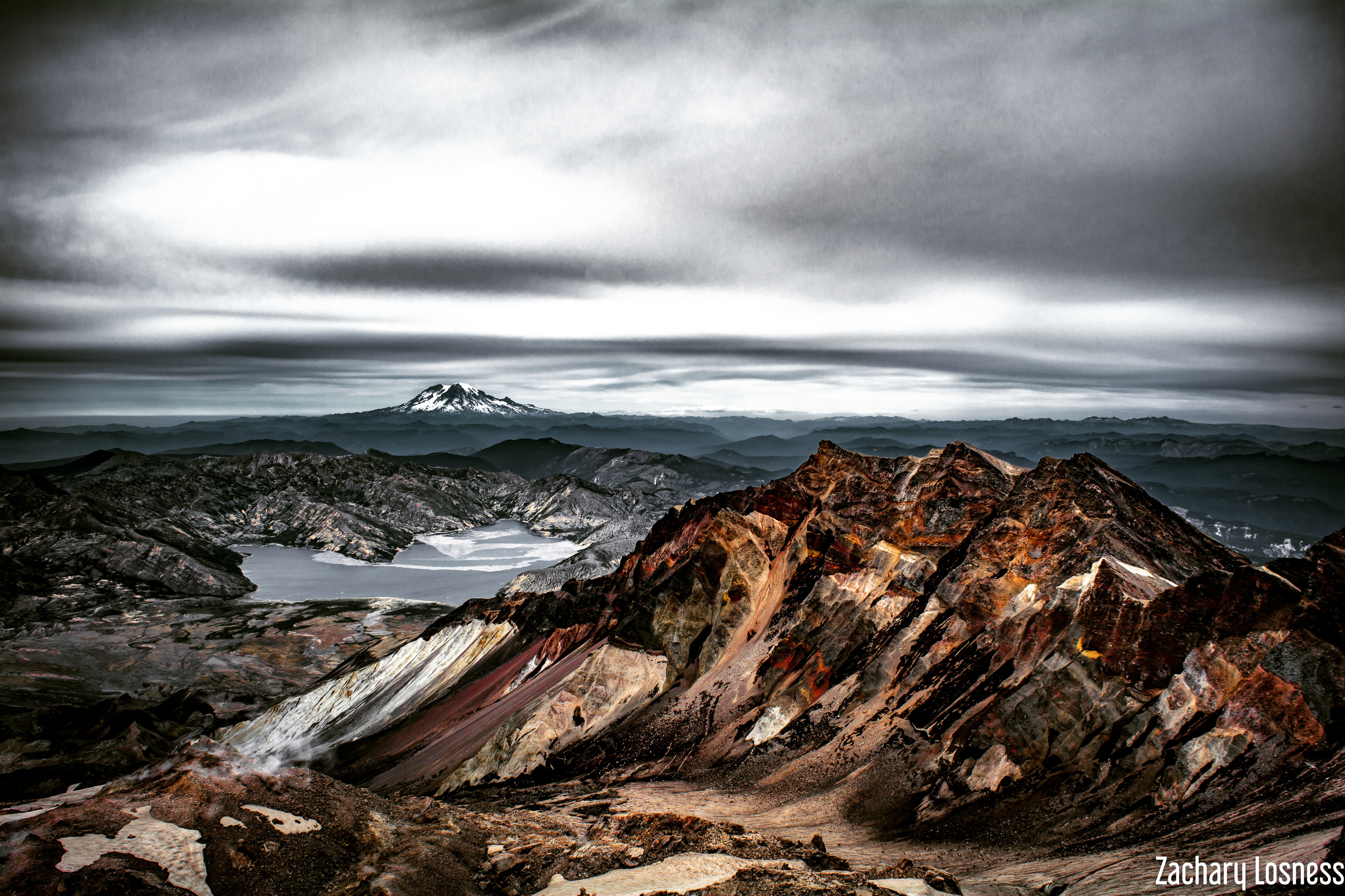
Mount St. Helens National Volcanic Monument
Shaken by an earthquake measuring 5.1 on the Richter scale, the north face of this tall symmetrical mountain collapsed in a massive rock debris avalanche.
In a few moments this slab of rock and ice slammed into Spirit Lake, crossed a ridge 1,300 feet high, and roared 14 miles down the Toutle River.
A vast, gray landscape lay where once the forested slopes of Mount St. Helens grew. In 1982 the President and Congress created the 110,000-acre National Volcanic Monument for research, recreation, and education.
Inside the Monument, the environment is left to respond naturally to the disturbance.
Cowlitz Valley Ranger District
The Cowlitz Valley area is administered by the Cowlitz Valley Ranger District.
This area is located in the Northern most portion of the Gifford Pinchot National Forest in southwest Washington, and comprises about 575,000 acres of the Gifford Pinchot National Forest.
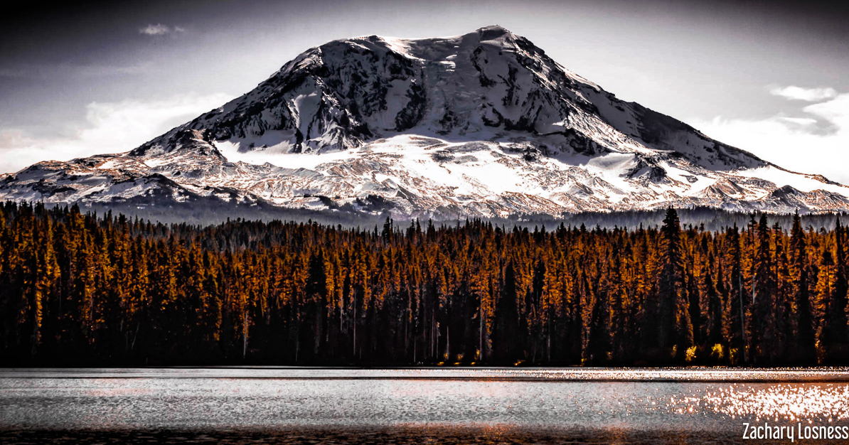
The Cowlitz Valley area is roughly located among three volcanic peaks: Mt. Rainier to the north, Mt. Adams to the east, and Mt. St. Helens to the west.
Mt. Adams Ranger District
The Mt. Adams area is administrered by the Mt Adams Ranger District.
This area is located in the eastern portions of Gifford Pinchot National
Forest in southwest Washington, and comprises 367,000 acres.
This area includes Mt. Adams Wilderness, Indian Heaven Wilderness and Trapper Creek Wilderness.