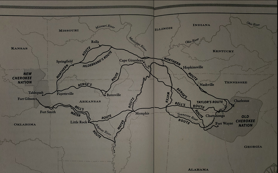

The map shows the Water Route in blue where several groups of Cherokee traveled from southeastern Tennessee to what is now northeastern Oklahoma. This route began on the Hiwassee River at Calhoun and Fort Cass and followed that river a short distance northwestward to join the Tennessee River at Blythe Ferry. The route then followed the Tennessee River across the state to Ross’s Landing and what is now Guntersville, Alabama. From there it followed the Tennessee River westward across northern Alabama to Tuscumbia Landing and Waterloo Landing. It then followed the river northward across western Tennessee and Kentucky to the Ohio River.
While this route seems awfully unnecessary with its winding turns and increased length, the draw came at the speed of the flowing water. While the Northern Route was the primary "funnel" for the removal, the U.S. government saw an opportunity to move along the process. The usage of steamboats and ferries in transporting large groups of people at intervals. Often times, Cherokee were shuffled onto steamboats without thought or care, intending only to reach a destination without proper supply of food or water. In turn, this route suffered heavily from sickness and malnutrition at the hands of the U.S. government.
Other groups of Cherokee using the Water Route chose to travel across land when river conditions proved to be an obstacle rather than a solution. One such group, led by U.S. Army Captain G.S. Drane, had to travel overland from Ross’s Landing, Tennessee, to Waterloo Landing, Alabama, before it could board boats. Toward the western end of the journey, the group had to travel overland from what is now Russellville, Arkansas, to Evansville, taking a route likely used later by the Bell party, who are mentioned in the next route.